
‘Safeguarding Amazonia’ Wintersession workshop addressed deforestation and technology
The “Safeguarding Amazonia” workshop was one of the highlights of Princeton University’s first Wintersession. Organized by the Princeton Institute for International and Regional Studies (PIIRS) Brazil LAB and the High Meadows Environmental Institute (HMEI), the workshop introduced participants to the innovative mapping technology developed by MapBiomas, a network of Brazilian scientific institutions, civil-society groups and startups.
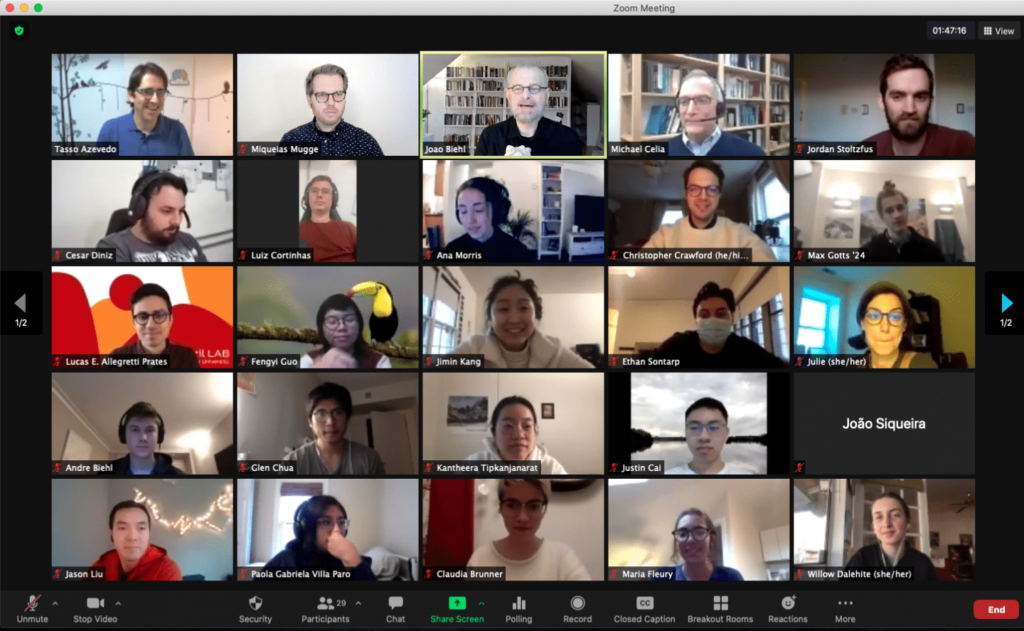
The Brazilian environmentalist Tasso Azevedo, coordinator of MapBiomas, opened the week-long workshop Jan. 18 with a public session live-streamed on the Brazil LAB YouTube Channel. Speaking from São Paulo, Azevedo highlighted the importance of creatively mobilizing technology, local knowledges and visual evidence to fight for environmental justice and to promote the conservation and stewardship of natural resources.
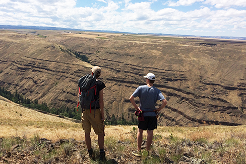
“Safeguarding Amazonia” provided instruction on using machine learning, cloud computing and network collaboration to produce large-scale, fine-resolution multi-temporal maps and analyses of land cover and land use, with a particular focus on the Amazon. The sessions also explored how civil society, business and policymakers use such visual evidence to advocate for equality and conservation. Participants learned how to produce their own land-cover maps and analyses from satellite images.

“This is an opportunity for us to share what we have learned in the past five years of MapBiomas and to inspire the Princeton community to think boldly about the ways large-scale processes impinge on land use and ecological transformations,” Azevedo said in his opening remarks. The teaching team included oceanographer Cesar Diniz, environmental engineer João Siqueira, and computer engineer Luiz Cortinhas, all joining from the Amazonian city of Belém, Pará.
“At the Brazil LAB we are always attuned to what Brazil and Brazilians can teach us,” said Brazil LAB director João Biehl, the Susan Dod Brown Professor of Anthropology and HMEI associated faculty who co-organized the workshop. “MapBiomas is an innovator in the Global South, producing new ways of monitoring the environment and making a difference in policy. We are delighted to collaborate with MapBiomas and HMEI in various Amazonian initiatives. The Wintersession gave us the opportunity to take our partnerships to a new level, making MapBiomas’ methodology and products available to our students, faculty and researchers — and the larger Princeton community.”
HMEI director Michael Celia, the Theodora Shelton Pitney Professor of Environmental Studies and professor of civil and environmental engineering and co-organizer of the workshop, said that students’ deep dive into “MapBiomas’ absolutely amazing and profoundly important work” will “lead to a number of new ideas and initiatives across campus.”
“I’m interested in conservation science, so I need to use a lot of maps and satellite images,” said Fengyi Guo, a third-year graduate student in the Department of Ecology and Evolutionary Biology who participated in the five-day course. “I was surprised to learn that it’s not that difficult to process data from raw satellite radar images into very informative and intuitive land-use maps. All of this is applicable in my research.”
Paola Gabriela Villa Paro, a pre-doctoral student in the Department of Economics, also participated because she thought that the techniques she would learn in the workshop could be useful for her future research. “A historical map visualization of some regions in Latin America could be a great way to understand urban mobility and indigenous displacements,” she said. “Google Earth Engine is an open and powerful tool to get real data from satellite records. That encouraged my initial research ideas about displacements, so I hope to put my hands on the code again in the near future!”
Miqueias Mugge, an associate research scholar at PIIRS and co-organizer of the workshop, said that he was happy to see several undergraduates from his course “Amazonia, the Last Frontier” among the participants. “In their evaluations, students were unanimous in praising the knowledge and dedication of MapBiomas’ teaching team and were exhilarated with the prospects of using this powerful new tool in their independent studies.”
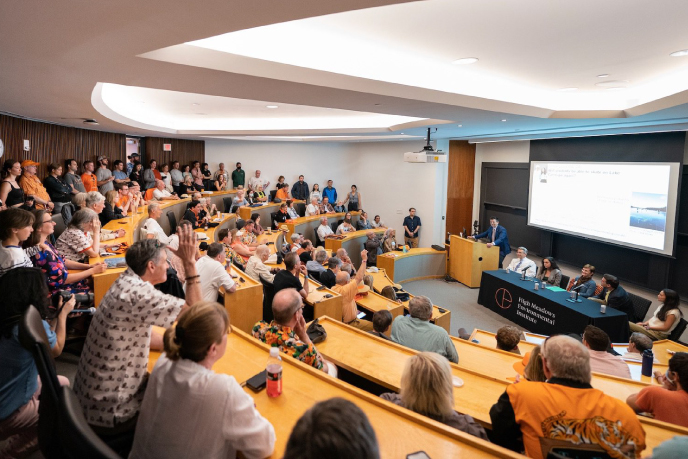
The University’s inaugural Wintersession, held from Jan. 18-31, served as an opportunity for Princeton community members to experiment and explore through non-graded learning and growth opportunities. Undergraduate students, graduate students, staff and faculty participated as teachers, learners or both. Wintersession 2021 programming featured more than 300 workshops and events.
The Wintersession workshop was a meaningful opportunity for the Brazilian environmentalists to condense their rich methodology into a teaching tool. “The pedagogical materials created for this class will help us greatly as we seek to take this multi-temporal mapping strategies to other non-profit and academic initiatives, specially those concerned with the future of tropical rainforest belts,” Azevedo said. “This knowledge-sharing and alternative evidence-making is a key piece in our collective efforts to fight climate change and conserve biodiversity.”
A second iteration of “Safeguarding Amazonia” is being planned for winter 2022, focusing on the analysis of MapBiomas’ databases on land-use change and the implications for waterways, fire scars, and mining. Wintersession is only one of the “many initiatives and projects that HMEI plans to develop with MapBiomas and in conjunction with the Brazil LAB in the years to come,” Celia said.