
2025 Internship Project Overview
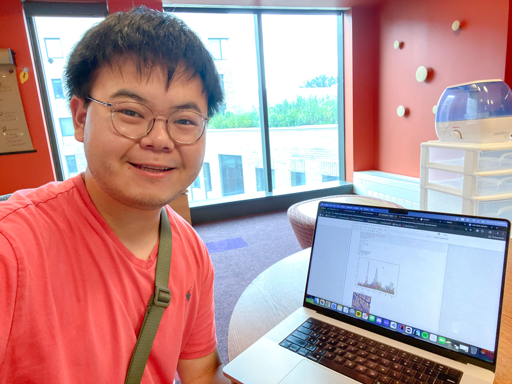
A recent advancement in deep convolutional networks, Deep Image Prior (DIP), uses the intrinsic structure of a neural network to enhance low-resolution images into higher-resolution images, a task known as super resolution. This project aims to generalize the DIP model to produce super-resolution geospatial maps of the East-Taylor watershed in Colorado. We used a low-resolution flood map of the area and several variables about the hydrology and terrain as a baseline for the network’s super resolution. The DIP-generated results showed good agreement when compared to our target high-resolution flood maps. This demonstrates that a deep learning approach can be used to generate a high-resolution geospatial map without requiring many training datasets, providing a more data-efficient alternative compared to traditional machine learning methods.
ORGANIZATION/RESEARCH GROUP
Integrated GroundWater Modeling Center (IGWMC), Department of Civil and Environmental Engineering, Princeton University
LOCATION
Princeton, New Jersey
Interns

Minor(s): Applied and Computational Mathematics, Statistics and Machine Learning
Click to view the end-of-project presentation
Principal Investigator

Mentors
- George Artavanis, Research Software Engineer II, Research Computing
- Xiao Xia Liang, Postdoctoral Research Associate, Civil and Environmental Engineering
- Mia Peeples, Ph.D. Candidate, Civil and Environmental Engineering
- Marie Joe Sawma, Ph.D. Candidate, Civil and Environmental Engineering