
Brian Nguyen ’27
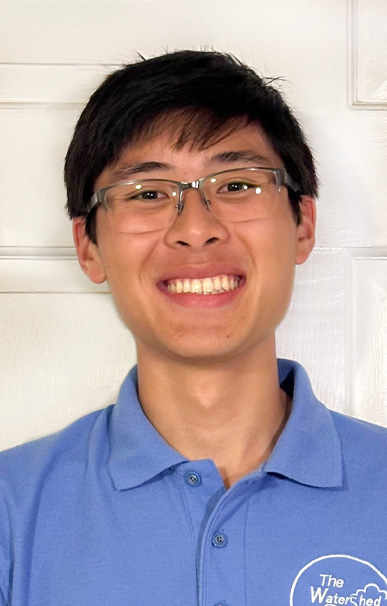
Civil and Environmental Engineering
Management of Geospatial “Groundtruthing” Data for Environmental Water Quality Monitoring Sites
Minor(s): Climate Science, Engineering Biology, Sustainable Energy
The Watershed Institute is a non-profit that recruits volunteers to monitor water quality at over 150 sites across Central New Jersey. Many of these monitoring sites are selected using satellite imagery, but unfortunately, satellite imagery cannot provide crucial details about each site. I developed a groundtruthing process to manage these crucial details so that they can be provided to volunteers. First, I developed an on-site assessment form to gather data such as parking locations, walking distances and environmental hazards and used the ArcGIS Fields Mobile App to link accurate GPS coordinate information with my gathered data. Then, I used ArcGIS Online to create a dynamic data management platform that streamlines data entry and organization. I also designed a quality control process to ensure the entry of standardized and accurate data, and created a dynamic viewing platform for volunteers to easily find their sites’ groundtruthing data. In addition to a greater understanding of how important environmental water quality is, the process of designing and implementing a helpful tool has solidified my commitment to civil and environmental engineering. I hope to carry this spirit of design and environmental stewardship into my future endeavors.
2024
Water and Agriculture
The Watershed Institute - Pennington, New Jersey
Erin Stretz, Assistant Director of Science and Stewardship, The Watershed Institute; Jian Smith, StreamWatch Program Coordinator, The Watershed Institute