

Eric Principato ’16
Mechanical Engineering
UAVs for Ecological Observation
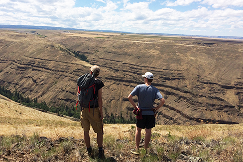
This summer I worked in the field with drones and developed software to process imagery taken by the drones. Currently, satellite imagery is widely used in many fields including agriculture and ecology. Farmers can manage their crops, terrain topology can be analyzed, and protected areas can be monitored. The main drawbacks of using satellite imagery are that it is very expensive and highly susceptible to weather and cloud conditions. Drones are a useful alternative for collecting high quality aerial imagery because they are inexpensive to fly and can be deployed in less than an hour. The goal of my project was to develop a workflow for generating drone imagery and rectifying that imagery with existing imagery. This allows researchers to analyze trends in both space and time at high resolution.
2015
Technologies for Environmental Study
Civil and Environmental Engineering Department, Princeton University, Princeton, NJ
Lyndon Estes, Associate Research Scholar, Woodrow Wilson School